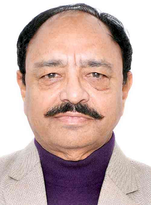
Gadkari to Arora: Govt in a move to implement Satellite based toll collection
Consultant has been appointed to provide advisory services on implementation of new technologies like Global Navigation Satellite System (GNSS) based barrier less free flow tolling, according to the Minister for Road Transport and Highways Nitin Jairam Gadkari.

Ludhiana, December 27, 2023: Consultant has been appointed to provide advisory services on implementation of new technologies like Global Navigation Satellite System (GNSS) based barrier less free flow tolling, according to the Minister for Road Transport and Highways Nitin Jairam Gadkari.
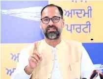
The Minister gave this information in reply to a question on operation of tolls by satellites asked by MP (Rajya Sabha) from Ludhiana Sanjeev Arora in the recently concluded winter session of Rajya Sabha. Arora had asked whether the government is planning to operate tolls by satellites to avoid traffic hassles; and if so, by when it will be implemented.
Giving this information here today, Arora said presently, there exists a FASTag facility, which is a solution to the problem of waiting in a long queue at a toll plaza. FASTag facility has reduced the time spent at toll plazas substantially. Despite this facility, it has been observed that many people still have to stop at the toll in case of technical problems. This is why the government is now going to introduce another advanced technology to ease the system. This advanced technology is called the Global Navigation Satellite System (GNSS). With the new system the wait time will be zero as barriers will be abolished.
The government plans to set up gate-free plazas based on GNSS across the country. It is hoped that once GNSS is introduced, the issue of traffic jams at the toll plazas will be resolved. People will not have to stop at the plaza after the setting up of gate-free plazas based on GNSS. GNSS allows an electronic receiver or device to determine its high location with high precision. This system determines it through longitude, latitude, and altitude. It provides navigation, position, and tracking.


 City Air News
